 |
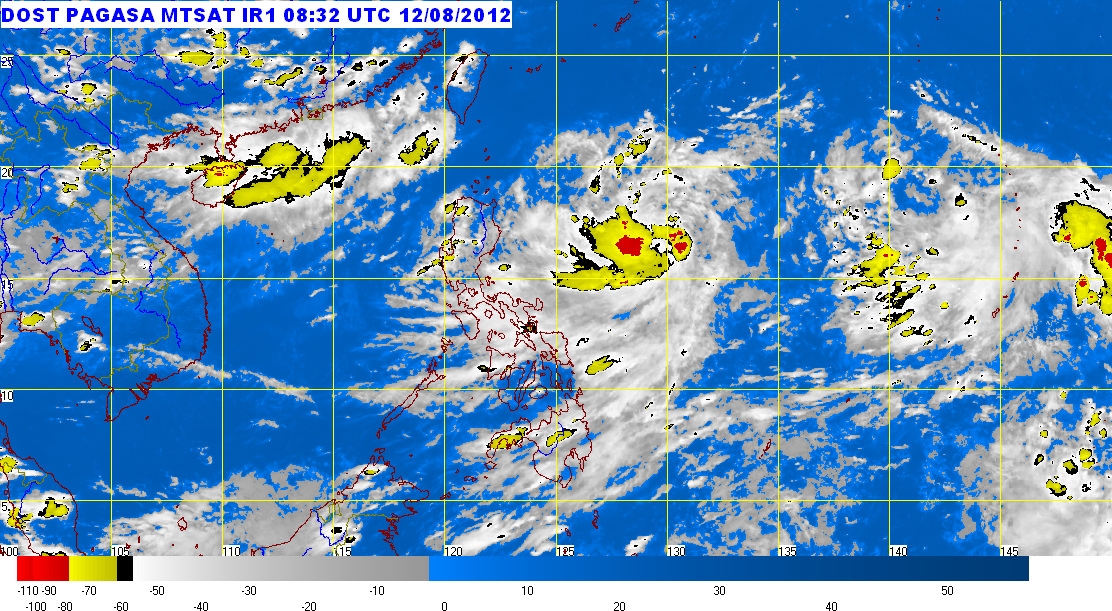
| Bagyong Helen satellite image as of 5:32 p.m, August 12, 2012 |
Packing maximum winds of 55 kph near the center, Bagyong Helen is moving West Northwestward at 11 kph, PAGASA added.
The state weather bureau further said that Bagyong Helen will be at 550 km East Northeast of Casiguran, Aurora on Monday afternoon; at 410 km Northeast of Casiguran, Aurora on Tuesday afternoon; and 300 km North of Aparri, Cagayan on Wednesday afternoon.
Bagyong Helen is expected to yield an estimated rainfall amount of 10 - 20 mm per hour (heavy - intense) within its 350 km diameter. It is expected to enhance the Southwest Monsoon that will bring rains over Southern Luzon, Visayas and Mindanao especially the Western section.
No public storm warning signals have been issued as of posting time.


No comments:
Post a Comment